Upload date
All time
Last hour
Today
This week
This month
This year
Type
All
Video
Channel
Playlist
Movie
Duration
Short (< 4 minutes)
Medium (4-20 minutes)
Long (> 20 minutes)
Sort by
Relevance
Rating
View count
Features
HD
Subtitles/CC
Creative Commons
3D
Live
4K
360°
VR180
HDR
403 results
15 views
10d ago
Academic Showcases: Insights from the Thomas Harriot College of Arts & Sciences on how spatial data is used for real-world ...
25 views
6mo ago
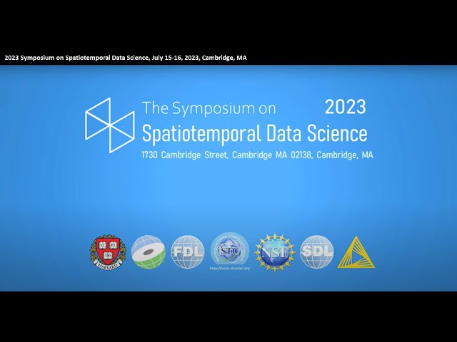
Sponsored by the Spatial Data Lab (SDL) project, this symposium aims to promote replicable and expandable spatiotemporal ...
325 views
2y ago
What is the Surface Water and Ocean Topography (SWOT) mission? This international satellite is set to help researchers track the ...
8,089 views
4y ago
This video documents the public defence of my Master's thesis at the Faculty of Architecture, Gdańsk University of Technology, ...
340 views
5mo ago
Joshua Yepes (UM '27 Data Science) shares his insights into why he took GEG 421 and what he learned from this course.
5 views
3mo ago
Welcome to My GIS Journey. This channel is dedicated to Geographic Information Systems (GIS), spatial data analysis, and GIS ...
124 views
4mo ago
... business analytics, GIS helps organizations make better decisions by analyzing spatial data instead of simply storing it digitally.
17 views
The annual GEOINT Symposium starts with the GEOINT FOREWORD Day. Torsten Kriening had the chance to summarise the day ...
61 views
More information and sources can be found here: https://sites.google.com/view/whoisranu/projects/space-junk-solution-analysis ...
31 views
Timestamps: 0:00 Intro 0:32 Part 1: Environmental Impacts 5:38 Part 2: Quality of Service 6:49 Part 3: Privacy 7:52 Part 4: ...
320 views
How TN State Parks GIS uses ArcGIS Field Maps to collect and manage Natural and Cultural Resources.
66 views
3y ago
29 views
683 views
Miya Khoo (UM '26 Marine Biology) shares her insights into why she took GEG 410 and what she learned from this course.
23 views
7mo ago
I'm Skilled in spatial analysis, data management, and developing efficient data pipelines that enhance decision-making and ...
13 views
1mo ago
The Southern California Associations of Government (SCAG) is a catalyst for a brighter future. They foster innovative solutions to ...
14 views
... GeoAI and raise the question: how much can we trust AI-generated spatial data? What's covered: → Downloading building data ...
26 views
Join Dr. Changjie Chen, FIBER's Assistant Scientist and expert in Digital Twins and AI-driven, real-time data modeling, as he ...
81 views
Spatial Analysis) 20:25 - Considering the "speed" of Quantitative Analysis vs. Spatial Analysis 21:51 - Requirement 4: CONSIDER ...
127 views


![[PN-VI] The Search for Odd Perfect Numbers](/api/proxy/image?url=https%3A%2F%2Fi.ytimg.com%2Fvi%2Fk2k8Zf1jgng%2Fsddefault.jpg)